Introduction
Our oceans are in peril, facing multiple threats that endanger marine biodiversity and the livelihoods of billions of people. Among the most critical challenges are sea level rise and ocean warming, both of which are driven by climate change. These phenomena not only jeopardize marine ecosystems but also pose serious risks to coastal communities and small island nations. This article serves as an educational guide and current status report on the underwater crisis, exploring the causes of sea level rise, its effects on marine biodiversity, and actionable insights on monitoring and addressing these challenges.
The Causes of Sea Level Rise
Melting Glaciers and Ice Caps
One of the most visible consequences of climate change is the melting of glaciers and ice caps. The Arctic and Antarctic regions are experiencing unprecedented warming, leading to significant ice loss. According to the National Snow and Ice Data Center (NSIDC), Greenland’s ice sheet is losing roughly 280 billion tons of ice each year. As these glacial masses melt, the resulting freshwater flows into oceans, contributing directly to rising sea levels.
Ocean Expansion
In addition to glacial melting, thermal expansion of seawater due to increased temperatures also contributes to sea level rise. As the ocean absorbs heat from the atmosphere, water molecules expand, causing the volume of the ocean to increase. Research shows that thermal expansion has accounted for approximately 40% of the observed sea level rise over the past century.
Human Activity
Human activities such as deforestation, fossil fuel burning, and urbanization exacerbate climate change, further accelerating sea level rise. The Intergovernmental Panel on Climate Change (IPCC) projects that, without significant mitigation efforts, global sea levels could rise by 1 to 3 feet by 2100.
How Sea Levels Are Tracked
Satellite Altimetry
Satellite altimetry is one of the most effective methods for measuring sea level changes globally. By bouncing radar waves off the ocean surface, satellites can determine the precise height of the sea. Missions like NASA’s Jason series have been instrumental in providing high-resolution data over large swathes of the ocean.
NOAA Data
The National Oceanic and Atmospheric Administration (NOAA) also plays a crucial role in tracking sea levels. Using a network of tide gauges along the U.S. coastline, NOAA provides long-term data that helps to understand local and regional sea level trends. Combined with satellite data, this gives a comprehensive picture of sea level changes.
Tide Gauges
Tide gauges, installed at coastal locations, measure the height of water levels relative to the land. While they provide less spatial coverage than satellites, they offer critical long-term historical data, useful for understanding relative sea level change at specific locales.
Real-World Consequences for Coastal Cities and Small Island Nations
The implications of rising sea levels are dire, especially for coastal cities and small island nations.
Coastal Cities
Cities like Miami, New Orleans, and Jakarta are on the frontlines of this crisis. Miami, for instance, is experiencing an average sea level rise of about 3.5 mm per year, leading to frequent flooding and saltwater intrusion into freshwater supplies. Similarly, Jakarta’s rapidly sinking land, combined with rising sea levels, has led to severe flooding that threatens its infrastructure and population.
Small Island Nations
Small island nations such as the Maldives and Tuvalu face existential threats. The Maldives, composed of around 1,200 islands, has an elevation of only 1 to 2 meters above sea level. Even a modest sea level rise could inundate large swathes of its land. Tuvalu has already begun to experience forced migration due to the inability to sustain agriculture and freshwater supplies.
Visualizing Impacted Zones
To better comprehend the areas most affected by sea level rise, various tools like NASA’s sea level viewer can be employed. These interactive maps delineate vulnerable zones and can aid coastal planners in formulating adaptive strategies.
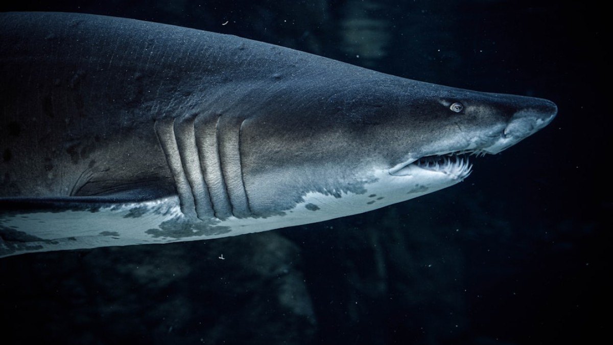
The Effects of Ocean Temperature on Marine Biodiversity
Coral Reefs
Rising ocean temperatures have devastating effects on marine ecosystems, particularly coral reefs. Corals are sensitive to temperature changes; even a 1 to 2°C increase can lead to coral bleaching, where corals expel the algae living in their tissues. This not only jeopardizes coral health but also disrupts entire marine habitats.
Fish Migration
As ocean temperatures rise, many fish species are forced to migrate toward cooler waters. This has significant implications for fishing industries and local economies that depend on specific fish stocks. For instance, commercially important species like cod and haddock have shifted their ranges, affecting traditional fishing communities.
Ocean Acidification
Increased CO2 levels not only warm the oceans but also lead to ocean acidification, which threatens shellfish and other calcifying organisms. This disruption in the marine food web can have cascading effects on biodiversity.
How to Explore Ocean Data Dashboards
To better comprehend these issues and monitor them, ocean data dashboards are invaluable. Many public tools are available for exploration:
- NASA’s Sea Level Change Viewer: This serves as an interactive tool to visualize current and projected sea level changes globally.
- NOAA’s Climate Data Online: This platform offers a wealth of climate data, including temperature trends, sea level rise, and more.
- OceanWatch: An initiative that provides real-time data on ocean conditions, helping to visualize the impacts on marine biodiversity.
These tools not only help researchers but also empower the public to engage with the ongoing climate crisis.
Conclusion
The underwater crisis we face today is a pressing issue that requires urgent attention. Rising sea levels and ocean temperatures pose significant risks to marine biodiversity and coastal communities globally. As we continue to gather data and analyze trends, it is crucial to advocate for actionable change to protect our oceans.
Sea Level Impact Scorecard by Region
| Region | Current Sea Level Rise (mm/year) | Vulnerability Level (1-10) | Key Biodiversity At Risk |
|---|---|---|---|
| East Coast USA | 3.5 | 8 | Coral reefs, fish species |
| Southeast Asia | 5 | 9 | Mangroves, coastlines |
| Caribbean | 2.5 | 7 | Coral reefs, tourism economies |
| Arctic | 4.2 | 10 | Polar bears, marine mammals |
| Pacific Islands | 8 | 10 | Freshwater supplies, biodiversity |
In this era of urgent climate action, the responsibility lies with governments, coastal planners, and each one of us to advocate for policies that mitigate these risks. Together, we can protect the planet’s most vulnerable marine species and ensure a sustainable future for our oceans and the myriad lives they support.