As climate change intensifies, polar ice melt has emerged as one of the most critical environmental issues of our time. The consequences of this phenomenon extend far beyond the icy landscapes of the Arctic and Antarctic; they reverberate across planet Earth, affecting sea level rise, ocean temperatures, and coastal communities. Understanding these impacts is crucial for coastal planners, marine biologists, and engaged citizens alike. This article serves as both an educational guide and a current status report on the profound effects of polar ice melt.
Introduction to Sea Level Rise
Causes of Sea Level Rise
Sea level rise is primarily driven by two main factors related to climate change:
-
Melting Glaciers and Ice Caps: The world’s glaciers and ice caps are rapidly losing mass. According to the Intergovernmental Panel on Climate Change (IPCC), glaciers contribute approximately 20% to global sea level rise.
- Ocean Expansion: As ocean temperatures rise due to climate change, water expands. This thermal expansion contributes significantly—roughly 50-60%—to the increase in sea levels.
In recent years, these factors have been exacerbated by increased greenhouse gas emissions, resulting in more extreme temperature fluctuations that further destabilize polar ice structures.
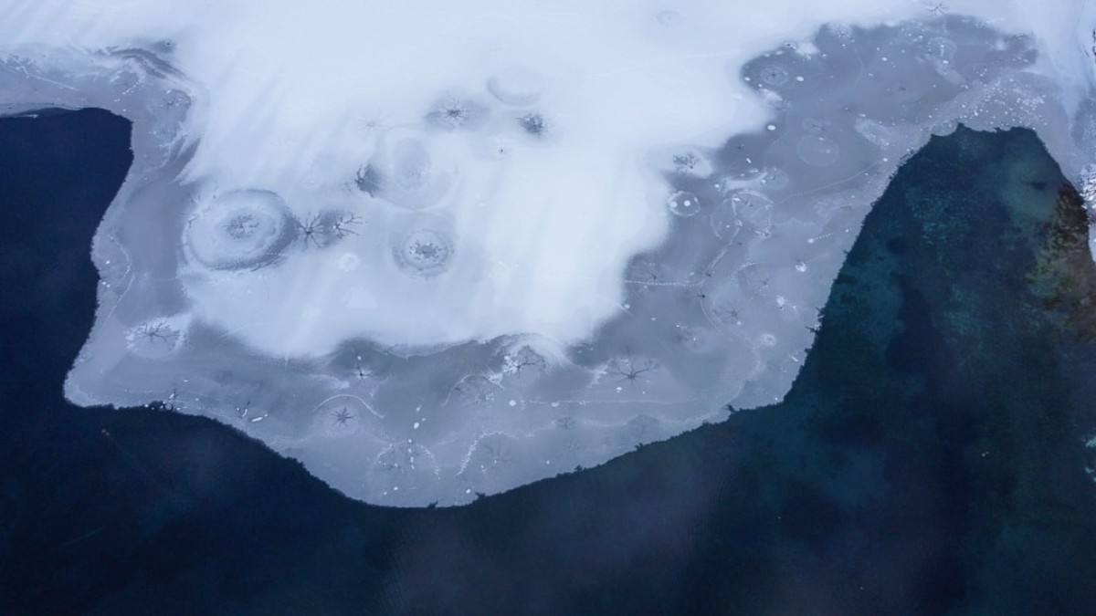
The Science Behind Melting Polar Ice
Polar regions are warming at approximately twice the rate of the global average. The Arctic is particularly affected, with a stark decrease in sea ice and an alarming rate of glacier retreat. The Antarctica is experiencing ice loss primarily from the West Antarctic Ice Sheet, which is particularly vulnerable due to its geographical location and warming ocean currents.
Current Status of Sea Level Rise
As of 2023, global sea levels have risen by about 8 to 9 inches since 1880, with projections suggesting an increase of several feet by the end of the century if current trends continue. This rise poses significant threats to millions of people living in coastal regions and small island nations.
How Sea Levels Are Tracked
Accurate measurement and monitoring of sea level rise is crucial for addressing its impacts effectively. Various technologies and methodologies are employed for this purpose:
Satellite Altimetry
Satellites equipped with altimeters measure the distance from the satellite to the ocean surface. This technology allows for the detection of minute changes in sea level over large areas, providing a global perspective. Satellite systems like NASA’s Jason-3 play a vital role in delivering real-time data on sea level trends.
NOAA Data
The National Oceanic and Atmospheric Administration (NOAA) in the United States maintains a network of tidal gauges that measure relative sea level changes along coastlines. NOAA’s data helps to contextualize satellite measurements with localized impacts, as land subsidence and uplift can vary by region.
Tide Gauges
Traditional tide gauges have been used for centuries to measure sea levels at specific locations. While they are limited in geographic coverage, they provide valuable long-term records that can be critical in identifying trends and anomalies over decades.
Visualization Tools
Many organizations, including NASA and NOAA, offer online tools and interactive maps that allow users to visualize sea level rise across different regions. These tools can be instrumental for planners and researchers in understanding potential impacts.
Real-World Consequences for Coastal Cities and Small Island Nations
The implications of rising sea levels are profound, especially for coastal cities and small island nations, where even minor changes can lead to catastrophic outcomes.
Coastal Cities at Risk
Cities such as Miami, New Orleans, and New York are already facing increasing flooding incidents, saltwater intrusion, and coastal erosion. Infrastructure costs for adapting these cities, from building sea walls to improving drainage systems, can climb into the billions. For instance, Miami has invested significantly in raising roads and improving drainage systems to combat high tides.
Impacts on Small Island Nations
Small island nations like the Maldives, Tuvalu, and Kiribati are often cited as among the most vulnerable to sea level rise. These nations face existential threats, with rising waters potentially making their lands uninhabitable. The prospect of climate refugees is a pressing humanitarian issue, as entire populations may need to migrate due to loss of land.
Case Studies
-
Miami, USA: Increased flooding and high-tide ‘sunny day flooding’ have become common worries, resulting in city investments in flood mitigation strategies.
-
Maldives: With an average elevation of just 4.5 feet above sea level, entire communities are at risk, prompting the government to explore potential relocation options for its population.
- Bangladesh: Coastal flooding and riverbank erosion threaten millions in this densely populated nation, necessitating innovative solutions to shelter populations effectively.
Visuals and Maps of Impacted Zones
There are several visualization tools that allow users to explore the projected impacts of sea level rise:
-
NASA Sea Level Viewer: This interactive tool enables users to see how sea levels are expected to rise by 2050 and beyond. Scenarios can show specific locations affected by varying degrees of sea level rise.
-
NOAA’s Sea Level Rise Viewer: Provides a detailed look at potential inundation in coastal areas, incorporating local elevation data and land use.
- Climate Central’s Surging Seas Tool: Offers interactive maps demonstrating the impact of sea level rise on coastal infrastructures, ranging from homes to critical infrastructure.
These tools provide essential visual data to coastal planners and researchers, helping them advocate for community awareness and policy changes.
Explanation of Ocean Temperature Effects on Marine Biodiversity
The Link Between Temperature and Marine Life
Ocean warming is intertwined with ice melt and plays a significant role in marine biodiversity. Warmer ocean temperatures lead to a myriad of changes, such as:
-
Coral Bleaching: A direct consequence of increased water temperatures, coral reefs face significant mortality rates due to stress from heat, leading to loss of biodiversity in marine ecosystems.
-
Species Migration: Many marine species are shifting their habitats toward cooler waters, disrupting established ecosystems, and affecting local fisheries.
- Invasive Species: Warmer waters can encourage the spread of non-native species, which may outcompete traditional marine life, resulting in biodiversity loss.
Effects on Fisheries and Food Security
Regions dependent on fisheries for economic stability and food security are at particular risk. Fish populations may migrate or decline due to temperature changes, which could devastate local economies and livelihoods.
Exploring Ocean Data Dashboards
Tools for Engaging with Ocean Data
-
NOAA’s Climate Dashboard: A comprehensive resource for viewing ocean trends, funding opportunities, and adapting to climate change.
-
NASA’s Earthdata: Offers extensive datasets, including ocean temperature, sea level, and ice concentration, empowering researchers to conduct analyses tailored to their specific needs.
- Global Climate Dashboard: A user-friendly interface that allows users to visualize climate data across multiple parameters.
Tips for Using These Dashboards
-
Familiarize Yourself with the Interface: Take time to explore features and options available.
-
Use Comparison Tools: Look for comparisons over time to understand trends better.
- Download Data for In-depth Analysis: Use available tools to download datasets for personal research.
Summary and Sea Level Impact Scorecard by Region
Summary
The ongoing and accelerated melting of polar ice presents significant challenges for our planet. While technological advancements provide invaluable tools for tracking and visualizing sea level rise, the urgency to address its impacts necessitates collaboration across sectors—science, governance, and community engagement.
Sea Level Impact Scorecard by Region
| Region | Projected Sea Level Rise | Vulnerability Score | Key Impact |
|---|---|---|---|
| Arctic | 1-2 meters by 2100 | High | Loss of habitat, increased shipping routes |
| East Coast USA | 1-3 meters by 2100 | Very High | Increased flooding, habitat loss, infrastructure strain |
| Southeast Asia | 0.5-1 meter by 2100 | Extremely High | Population displacement, loss of agriculture |
| Caribbean Islands | 0.5-2 meters by 2100 | High | Loss of land, tourism decline |
| Western Europe | 0.5-1 meter by 2100 | Moderate | Coastal erosion, access disruption |
Understanding these crucial data points can assist decision-makers and communities in strategizing effective responses to the impending challenges posed by rising sea levels.
In conclusion, the melting polar ice raises urgent concerns that necessitate swift and informed action across global communities. Whether through individual responsibility, local advocacy, or large-scale policy changes, all efforts are essential to mitigate these environmental impacts. The time to act is now—before the thawing tides reshape the world we know.